There Be A Storming Coming
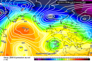
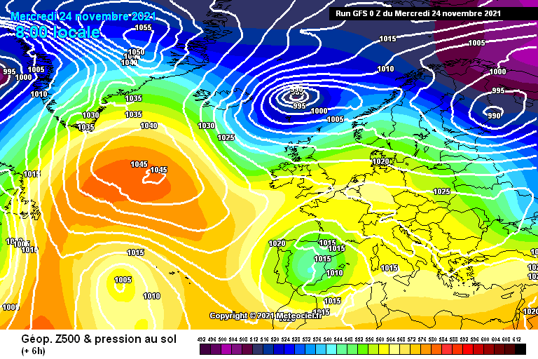
Beware the winds early on Saturday morning, which could be very potent for a short time, as a developing mini-low pressure (what the Daily Express would call a “Weather Bomb”) is hurtling towards us on a powerful amplified jet, angled north to south: See the web link – which shows the GFS model for the next few days in sequence…note the second low develop and note the tightness of the isobars on the back edge. It is possible that this feature will get labelled a Snow Bomb, because it will have some very cold air embedded within it and this will deliver some very sleety, wet snow on its back edge.
This may be both heavy enough and (may be) just cold enough (tough call though it is at this time of year after so much heat and such warm seas) to deliver a snowy festive blanket of whiteness – especially with any elevation, (above 100m), and even potentially lower down for a time, as it moves through. The most probable outcome is sleety, non-settling snow, but with snow, the cooling effect of the melting – can chill the lower layers of air and deliver a surprise fall that is modelled as marginal.
Normally though – for this to happen, the air needs to be still for the chill effect to work. With vicious winds, this will not be so likely, although – when falling, the precipitation could be very wild, and if falling as snow, could deliver a true blizzard, of heavy snow – driven by a very strong wind. Whatever the outcome. – it will be noteworthy and one for you weather watchers….
#weatherbomb
#wind
#snowday
#storm